
Richland County Street Directory Steps
A Richland County street directory works best as an address-to-record workflow. The property card ties a street address to a Tax Map Number, or TMS, and a legal description. The GIS map shows the specific parcel and nearby jurisdiction layers. Sale-history book/page data can lead into the deed chain. Historic directories add an edition-dated household clue. None of those sources is a census of every person in a building, so retain each record’s date and purpose.
Separate the physical situs from the owner mailing address before moving on. Situs identifies the mapped parcel. The mailing address is where tax correspondence was sent and can differ for ordinary reasons. A property owner may not be a current occupant. That distinction prevents a common error in by-address research.
- Enter the street address in the Property Record Card and capture the TMS, situs, legal description, current owner field, and sale-history references.
- Search the same address in Dataviewer, turn on parcel and address labels, and inspect the specific street segment rather than relying on a text match.
- Use the sale book/page, party name, legal description, or date in the Register of Deeds index. Do not assume every instrument has an address or TMS.
- For an earlier household, check the UofSC directory years, later Hill or Polk volumes, telephone books, maps, and the relevant census-release period.
- If a record falls outside online coverage, move to the ROD counter, microfilm, library, or archives route documented for that record group.
Note: Record the edition year and parcel identifiers at every step, because a street name alone is not a stable historic identifier.
Richland County Street Address Fields
The Richland County Property Record Card offers Tax Map Number, Address, and Owner searching, with optional filters for tax district, neighborhood, acreage, year built, heated area, bedrooms, bathrooms, transaction date, transaction price, and sorting by TMS, address, or owner. It limits results to 300 and exports to 100. For a whole-street question, narrow the search with a street number, a block, or a parcel instead of expecting an unlimited street roll.
| Richland field | Street-directory use | Important boundary |
|---|---|---|
| Address | Find the parcel from a street location. | Text variants can need map confirmation. |
| Tax Map Number | Carry a parcel into GIS and deed research. | Use the exact TMS, not a guessed format. |
| Owner and mailing address | Identify the tax-record party and correspondence clue. | Neither proves present occupancy. |
| Legal description and sale history | Bridge to plats and book/page records. | Not every recorded deed repeats the street address. |
The county property-search page confirms the address, owner, and tax-map methods.
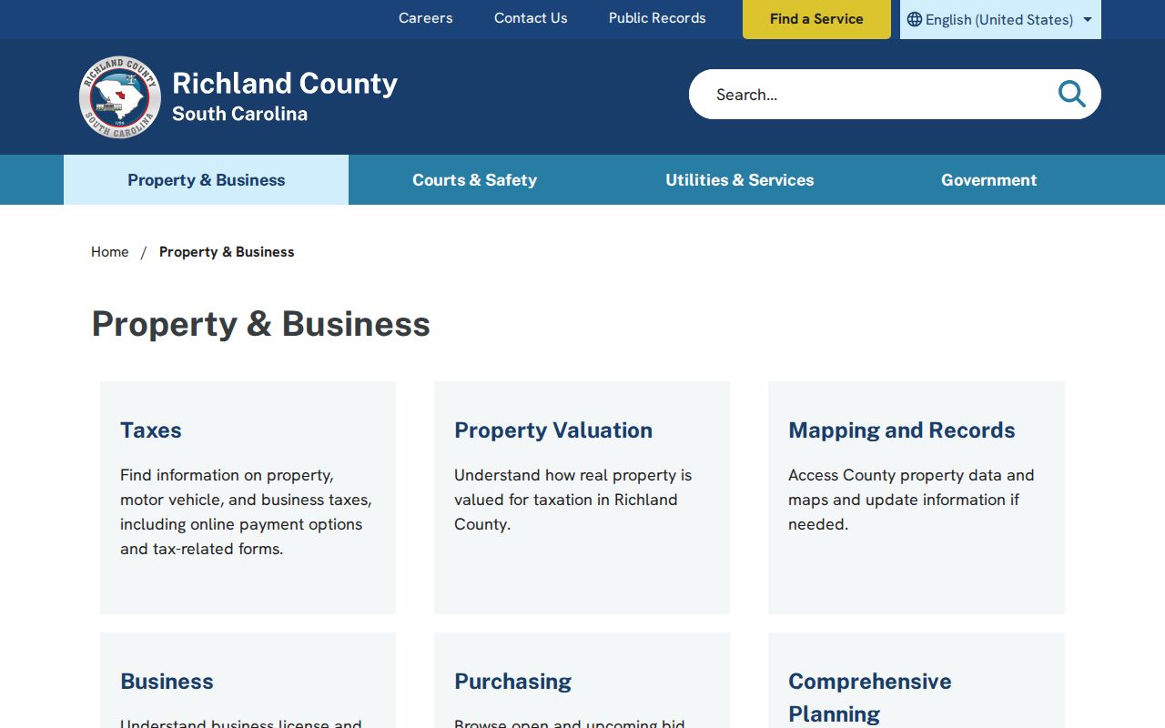
The entry screen is the correct starting point for parcel context, not a listing of everyone associated with a street.
Richland County Street Map Layers
Dataviewer turns an address into an on-map street segment. Search Address, Parcel, or Name, select the result, and add parcel boundaries, address labels, subdivisions, zoning, tax districts, municipal boundaries, ZIP codes, voting precincts, voting locations, and council districts as needed. The county guide says to type an address in the form “1000 Main” without Street or Road. For a parcel lookup, switch to Parcel and use the pattern 12345-67-89.
The map helps establish which parcel, municipality, ZIP overlay, or voting geography applies before a records request goes to the wrong office. A layer is geographic context. It cannot establish current household membership, private utility data, or a personal relationship among adjacent parcels.
The Richland GIS Dataviewer provides the official layers.
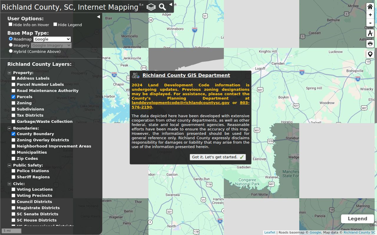
The displayed controls make it possible to compare a street with parcel and jurisdiction layers before searching another record system.
Richland County Street Deeds
The Register of Deeds subscription guide supports Instrument Number, Book and Page, Names, File Dates, Property Address, and Legal Description searches. Recorded names must be tested as indexed, including middle initials and corporate abbreviations; the percent sign is the documented wildcard. Results can sort alphabetically or by recorded date/time. A summary can show book/page, document type, recorded date/time, and tax-map number when present.
The online index runs from January 10, 1984, while images run from February 19, 1998. Older instruments belong in the Room 101 public viewer, microfilm, and historic books. A 1990 deed may be indexed but not have an online image. Address and TMS are not mandatory on every instrument, so a street-directory search sometimes needs the legal description, party roles, book/page, and date window.
The Register of Deeds supplies the paid online and public counter routes.
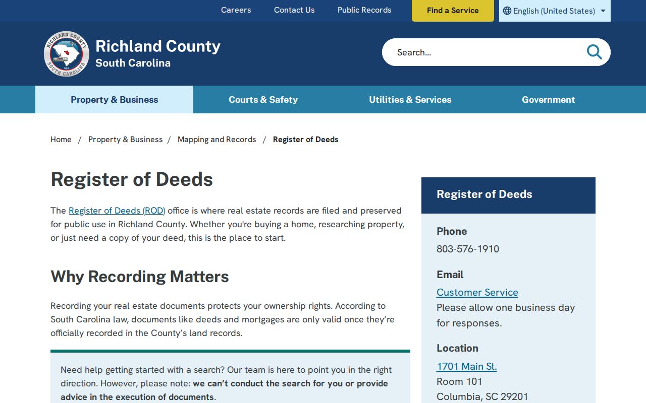
The ROD entry page signals the access split between subscription records and the counter research path.
Richland County Street Record Sources
Each address-keyed source answers a different part of a Richland County street directory question. A map shows the parcel boundary and geographic overlays. The property card supplies tax-roll and building context for that parcel. The ROD explains recorded transfers and legal parcel clues. Historic directories and telephone books can associate a dated name or business with an address. The voter system describes individual registration or official inspection/list routes, but does not provide public up-and-down-street browsing.
| Address-keyed source | Richland keeper | Street evidence | Access path |
|---|---|---|---|
| Property Record Card | Assessor | Owner, TMS, situs, legal description, sale history | Free county-linked portal |
| Dataviewer | Richland GIS | Parcel geometry, address, subdivision, zoning, ZIP and jurisdiction context | Free interactive map |
| Recorded transfer | Register of Deeds | Parties, book/page, document type, recorded date and legal clues | Subscription or counter |
| City Access Portal | City of Columbia | Account-holder project, fee, hold and inspection views for City addresses | Authenticated workflow |
| Historic street sources | UofSC and Walker Center | Street & Avenue, telephone, or directory entry by edition | Digital and in-library sources |
The TMS and legal description are the safer bridge between the parcel card and land records. A street name is often just the starting key. It can change in form, be absent from an instrument, or point to a different municipal route. A final name or occupancy conclusion needs record-specific corroboration.
Richland County Street Terms
Address records use terms that should not be collapsed into one another. Keeping them separate makes a street-directory result easier to test against the underlying document.
- Parcel or TMS
- The tax-map identifier for a mapped property. It is more persistent than a written street variant.
- Situs address
- The physical location of the parcel, distinct from where tax correspondence is mailed.
- Plat
- A recorded map of a subdivision or parcel layout, useful with a legal description.
- Criss-cross directory
- An address-oriented directory arrangement that can lead from a street to a dated entry.
Richland County’s Property Record Card links a property to sale-history and legal-description fields, while ROD records may require a book/page, party, or legal-description search. Treat a published street listing as a time-specific clue and compare it with the parcel trail.
Richland County Street Address Limits
The City of Columbia Access Portal has a separate address workflow. It accepts a City-valid address by street number and name without a street type or city, or a parcel TMS in the form 00000-00-00. Its project details are intended for approved account holders, including fee, hold, and inspection information. It is not a public historical name browser and should not be treated as a street directory.
An address not found there can be outside City limits, misspelled, nonexistent, or affected by a documented condominium/GIS condition. Check municipal layers in Dataviewer before treating a City response as a countywide answer. For historic names on a street, use the dated collections in the Richland County Directory Book.
Richland County Street History
Columbia’s planned grid dates to 1786, and that local history helps explain the Street & Avenue department found in the 1911 Walsh directory. The UofSC digital collection has selected Columbia issues from 1859 through 1927. Later Hill, Polk, and telephone volumes are held locally with documented gaps. A Street & Avenue or telephone entry can connect a past address to a name for a particular edition year, not to a present household.
For physical context, compare the directory year with the Library of Congress Sanborn editions for 1888, 1919, or 1950 and with a legal parcel or plat. Research did not verify a single countywide renumbering year. Do not assume a modern mailing address carries unchanged into an older directory.
Richland County Street Record Fallbacks
A street-directory trail often reaches an access boundary. The property card may mask owner fields through the local opt-out. The ROD online system may show an index entry without an image, especially before its 1998 image boundary. A City Access result may be unavailable because the address is outside City limits or the view needs an approved account. The correct fallback depends on the source, not on how much information a browser search returns.
For a recorded instrument, ask the Register of Deeds counter or use Room 101’s public viewer, books, and microfilm. For historical address evidence, use Walker Center’s directory, telephone, map, and obituary holdings or the South Carolina Archives. For a non-exempt county administrative record not held by another custodian, send a focused written request through the county public-records route. Court and vital records follow their own rules and should not be redirected into a general request.
That split is a useful local research fact. It keeps a Richland County street directory tied to documented access channels instead of presenting a failed web query as the end of the trail.
Richland County Street Voter Geography
Dataviewer’s voting layers can identify a precinct, location, or district around an address. They do not reveal a public household roster. MyscVOTES is an authenticated self-lookup that requires county, name, date of birth, and the last four digits of a Social Security number. Official registration records have their own inspection and list procedures, while address-confidentiality protections apply to qualified participants.
The SC Votes portal is the official individual entry point.
The identity-gated form confirms that voter information is not a public by-street screen.
Richland County Street Directory Limits
A Richland County street directory cannot list every resident or visitor, reveal private utility or delivery records, or turn a tax mailing field into proof of occupancy. DMV personal information has separate protections. The property portal can also show an online opt-out. Court material may be sealed or expunged, and protected election addresses remain confidential. An empty web field is an access condition, not evidence that a person is absent or that a record has disappeared.
Personal use. Use Richland County street and address records for lawful family history, estate, civic, or property-curiosity research. Never use a result to follow, threaten, or harass another person.