
Richland County Neighbors by Block
Records for a block answer different questions. The county map establishes which parcels touch the focal parcel. The property card adds ownership, tax, physical, and transfer fields for one parcel at a time. Recorded instruments can explain a transfer, while neighborhood maps show the civic area around a property. None of these sources is a complete list of everyone who visits, stays at, receives deliveries at, or otherwise connects with an address. Treat an owner of record as an ownership fact, not as a statement of current household membership.
| Source | What It Shows About a Block | Access |
|---|---|---|
| Richland GIS Dataviewer | Adjacent parcels, tax-map numbers, and municipal, ZIP, voting, and neighborhood overlays | Free map; separate property fields can be opted out online |
| Property Record Card | Parcel-specific owner, tax, physical, situs, mailing, and sale-history fields | Free search, one parcel at a time; it is not a household roster |
| Register of Deeds | Recorded instruments and legal parcel clues for nearby lots | Subscription service or Room 101 counter; parties are not occupants |
| Election records | Precinct and district geography plus lawful inspection and list routes | No public by-street online browse; protected addresses remain confidential |
| City neighborhood maps | Named organizations and boundary context around a parcel | Public boundary information, not a membership directory |
The distinction between situs and mailing address matters here. Situs is the physical parcel location; a mailing address is where tax correspondence goes and may be elsewhere. A boundary on the map also has a limited meaning: it can identify adjoining land, not personal relationships between the people connected with those lots. These limits make a careful neighbor lookup more useful and less likely to produce a mistaken conclusion.
Richland County GIS Neighbors
The Richland GIS Dataviewer is the correct starting point for adjoining parcels. Search the focal address or tax-map number, select the parcel, then zoom until the touching boundaries are visible. Each adjacent parcel has its own map panel, so record the neighboring tax-map number and situs before opening another record. The county guide also documents an address style such as “1000 Main,” without Street or Road, and a Parcel search format such as 12345-67-89.
The map separates land geometry from identity. Its layers can add parcels, address labels, subdivisions, zoning, tax districts, municipalities, ZIP Codes, voting precincts, voting locations, and council districts. That makes the map valuable when a block crosses a city or postal boundary. It does not turn those layers into proof of occupancy. Map data and zoning layers can change, so confirm the current controls and parcel information through the custodian when a result matters.
See the county’s Property Search (Beta) before opening the screenshot below. It pairs map context with tabular property information.
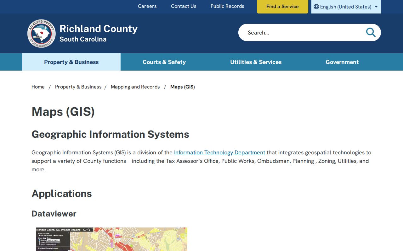
Use a selected parcel as the bridge to its individual property card, rather than treating one street query as a complete list of neighbors.
Richland County Parcel Neighbors
Use a parcel-by-parcel process when mapping a Richland County block. It preserves the limits of the records while making it easier to compare the actual parcels that meet at a boundary. The Property Record Card is a free county-linked interface with Tax Map #, Address, and Owner search modes, plus optional tax-district, neighborhood, acreage, building, and transaction filters. Its response limit is 300 results and export limit is 100, so a broad street search can require a smaller address range or individual parcel work.
- Locate the focal address or tax-map number in Dataviewer and select its parcel.
- Click each adjoining parcel and note its tax-map number, situs, subdivision or legal-description clue, and map boundary.
- Search each tax-map number in the Property Record Card. Read the owner, mailing address, situs, legal description, and sale history as parcel fields, and respect any online opt-out.
- For a transfer question, use the recorded book and page or grantor and grantee names in the Register of Deeds route. Use the legal description, date, or party-name variations when an address is absent.
- Stop at the record’s boundary. A shared lot line does not establish that people are related, reside together, or have any social connection.
The Property Record Card can show a TMS, account number, legal description, neighborhood, zoning, tax district, tax context, building characteristics, and sale history. Its legal-residence or homestead fields are tax classifications, not evidence of who forms a household. For a full named-street sequence rather than an immediate block, use the Richland County street directory.
Open the Dataviewer to see the live parcel and layer controls used for this process.
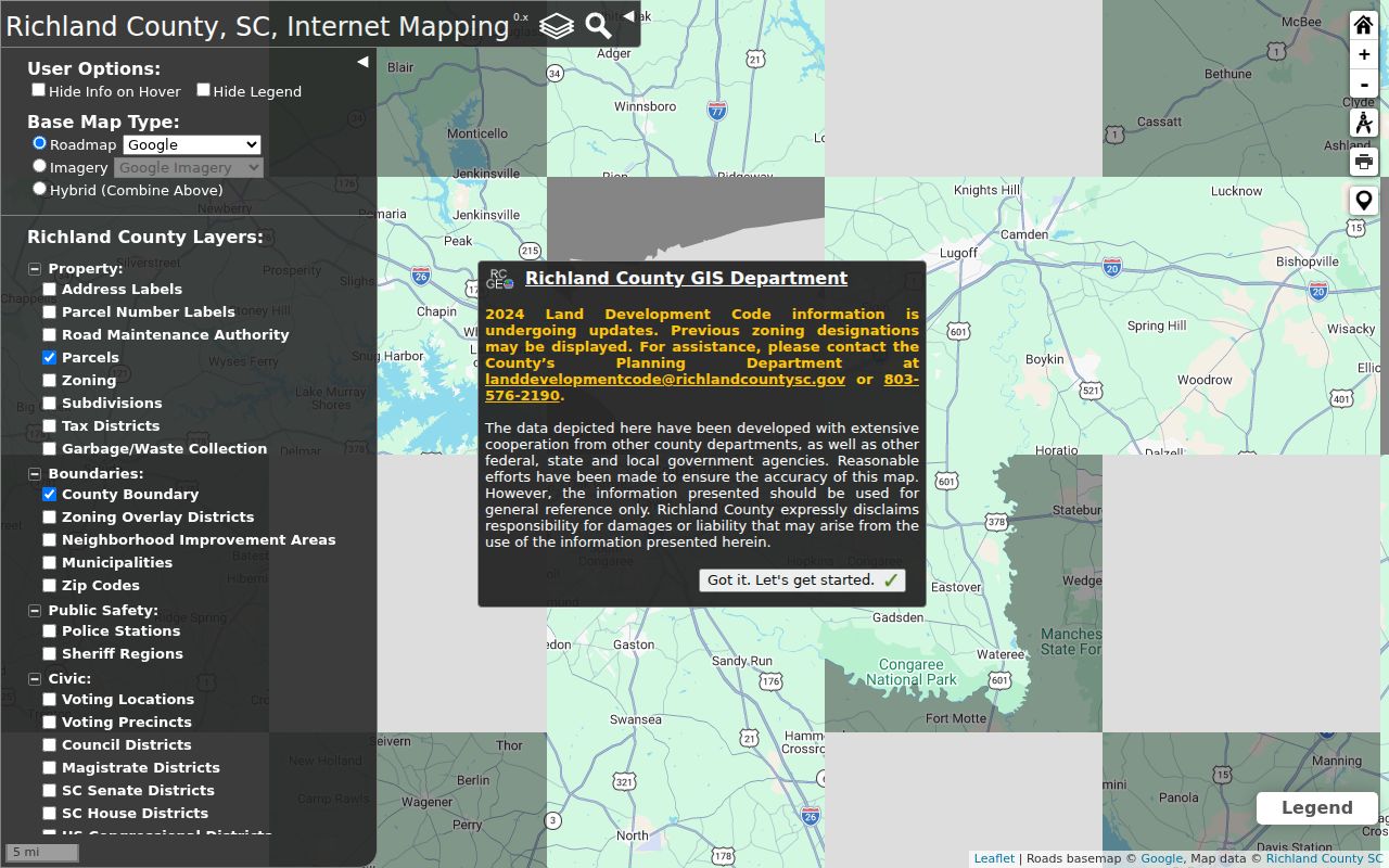
Its parcel, jurisdiction, ZIP, voting, and tax-district layers provide geographic context without naming every person around the block.
Richland County Voter Records
Election information can confirm civic geography, but it is not a public online block roster. The MyscVOTES Voter Information route is an authenticated path for an individual’s own information. It requires County, first name, last name, date of birth, and the last four digits of the Social Security number as printed on the voter-registration card. It should not be described as a name-only or street-by-street way to find neighbors.
South Carolina Code § 7-5-410 provides for inspection of official registration records by citizens at the county board office or Clerk of Common Pleas. The state’s voter-list route is limited too: a registered South Carolina voter may purchase lists under § 7-3-20(D)(13) using criteria such as county, district, age, sex, race, household, participation, or registration date. The published criteria do not list a street or address selector. Participation history says whether someone participated, not how a person voted.
The Richland County Voting and Elections office is at 300 Columbia Mall Blvd., Suite 210, Columbia, SC 29223, with county election contact routes and public-records procedures. Address Confidentiality Program participants have protected election addresses. Note: Precinct and district layers describe civic geography, but they do not disclose protected addresses or create a block list.
Richland County Community Neighbors
City neighborhood boundaries are a better community layer than an inferred list of residents. The City of Columbia Neighborhoods inventory organizes groups across four City Council districts. Its listed organizations include Ames Manor, Belmont Community Association, Cottontown/Bellevue Historic District, Earlewood Community Citizens Organization, Elmwood Park Neighborhood Association, Arsenal Hill Neighborhood Organization, Downtown Neighborhood Association, Historic Waverly Neighborhood Council, Rosewood Community Council, Shandon Neighborhood Council, Central Rosewood, Forest Hills, Old Shandon, Wales Garden, Heathwood Park, Historic Trenholm-Buchanan, and Yorkshire.
The following public routes identify a community or boundary, not its member households. Use them to understand the named area around a parcel or to find a civic information channel. No official public roster for HOAs, congregations, block-watch groups, or civic clubs was located.
City Neighborhoods
Use the city’s organization inventory to identify a listed neighborhood association by council district.
City neighborhood organizationsBoundary Maps
Compare a parcel’s map location with the city’s published neighborhood boundary map.
Columbia boundary mapsNeighborhood Council
The Richland County Neighborhood Council is an information conduit, not an individual directory.
County Neighborhood Improvement ProgramThe City boundary maps are the proper companion to a parcel map, as shown in the source image below.
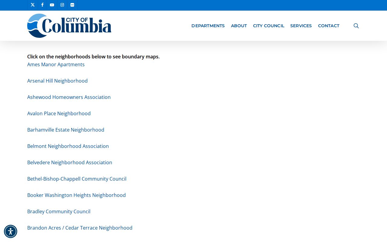
A community boundary can help orient a block, but it does not confirm membership, contacts, or private association records.
Richland County Record Options
Official sources and commercial neighbor tools serve different purposes. County sources reveal their custodian, field limits, and access channel, so a reader can test a result against the underlying parcel or instrument. Commercial categories can combine information from many places, but their update cycle, source trail, and correction path may be unclear. Neither category should be treated as a guarantee that a person currently lives at an address.
| Source category | Useful block context | Limit to keep in view |
|---|---|---|
| Official parcel and land records | Parcel boundary, owner of record, legal description, and transfer details | Ownership does not prove occupancy; online fields can be opted out |
| Official civic and election routes | Neighborhood boundaries, precincts, districts, and lawful registration-record access | They do not provide an unrestricted by-street household directory |
| Commercial neighbor tools | Possible starting leads assembled from outside sources | Check identity, date, address, and source against the appropriate custodian |
For a recorded transfer, the Richland County Register of Deeds is the custodian. Its subscription system supports instrument number, book and page, names, file dates, property address, and legal-description searches. Searchable index coverage begins January 10, 1984 and online images begin February 19, 1998. Older or incomplete material belongs with the Room 101 public viewer, books, and microfilm. The office also accepts a mailed $15 certified-copy request with a self-addressed stamped envelope.
Richland County Map Layers
Richland County’s map layers are especially useful when a neighborhood question is really a geography question. A single Dataviewer session can place a parcel against municipality, ZIP, voting, school, tax, and neighborhood-improvement layers. That helps distinguish a City of Columbia route from a county route, identify a cross-boundary address, or choose the right civic contact. It does not answer who occupies a home, and it should not be used as a reason to infer more about a person than the records show.
For historic context, Walker Local and Family History Center holds city and telephone directories, local newspapers and magazines, an obituary index, maps, yearbooks, oral histories, and appointments. Its digital collections also include local photographs, maps, school yearbooks, and an architectural survey. Those materials can add the history of a block or building while leaving a current parcel search focused on present land-record facts.
Richland County Neighbor Privacy
Privacy limits are part of an accurate neighbor lookup. South Carolina’s Address Confidentiality Program supplies qualifying participants with a substitute mailing address for future state and local public documents. State agencies and courts must accept it, while private organizations are not required to do so. The program does not erase existing records, change a person’s identity or location, or create a way to find a protected person. Utility accounts, delivery data, and the full set of people connected with a home are not made public through the parcel process.
The county Property Record Card also has an online Opt-Out route under More → Opt-Out. It is finalized by email for each property, and the county publishes optout@richlandcountysc.gov for that process. An opted-out online card may still show physical parcel details while owner, mailing, value, or sale fields are withheld. The opt-out affects online display, not the underlying legal ownership record or every other lawful custodial channel.
Lawful use. Use Richland County neighbors records for lawful personal research, community context, or reconnecting. Do not use them to watch, confront, stalk, harass, threaten, or harm anyone.
South Carolina’s harassment and stalking provisions are in Title 16, Chapter 3. The Family Privacy Protection Act limits commercial-solicitation use of personal information from state and local government sources. If an online record appears wrong, contact the actual custodian with the document, case, or tax-map reference rather than publicizing or acting on an unverified result.